


January
About the Image
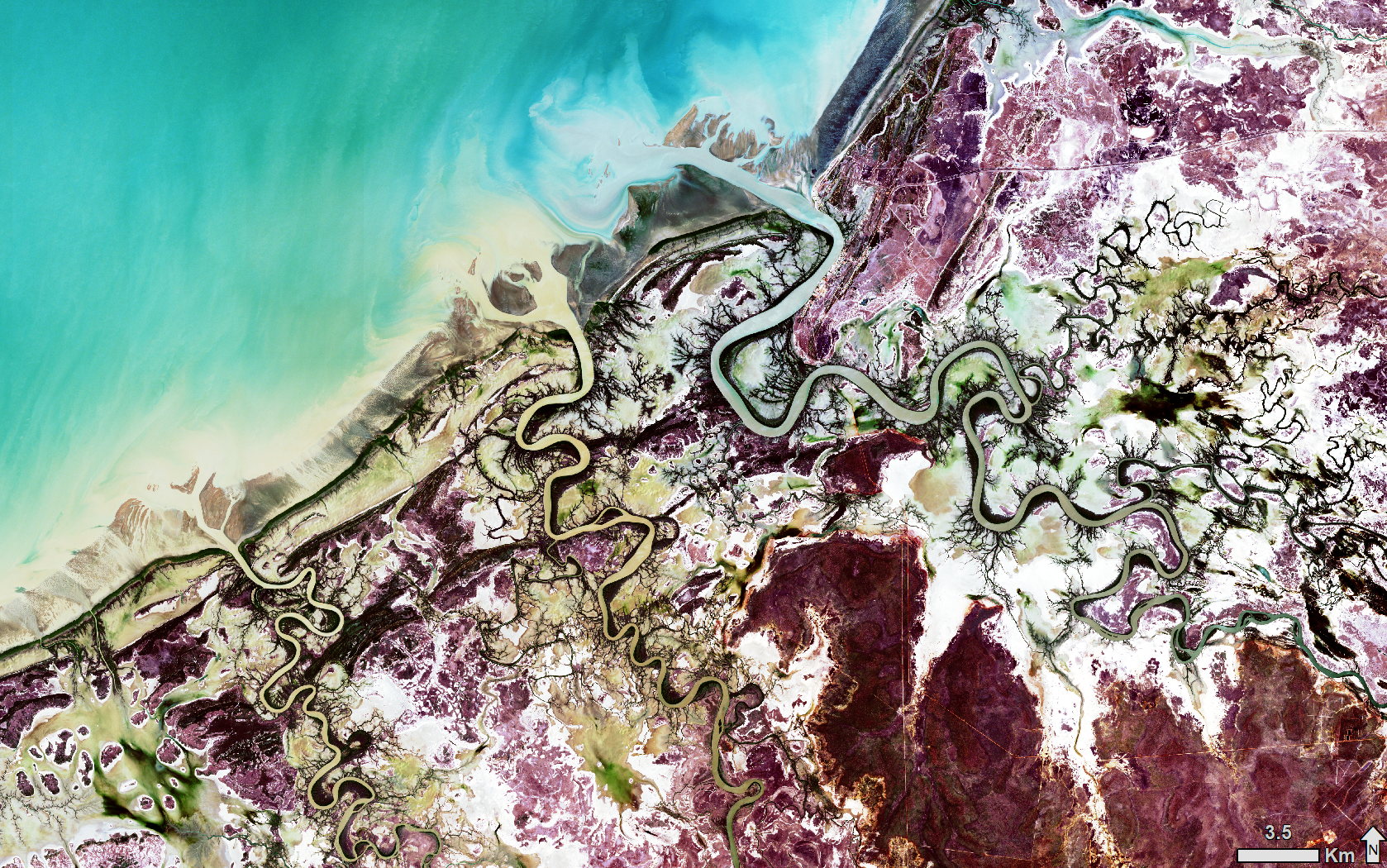
This satellite image shows, from north to south, the inlets of the Norman, Bynoe, and Flinders Rivers in the Gulf of Carpentaria. The image was captured on the 26th of December 2018 at 10:51:58 AEST, which coincided with the lowest tide (0.64 m) of the month at Karumba (on the Norman River), exposing an intertidal zone that is more than a kilometre wide.
Intertidal zones are the section of coastline between high and low tides. In this image, the green patches observed in the intertidal zone are likely seagrass communities. Mangrove communities are shown as dark-green objects along the coastlines and river channels, and saltmarsh communities are light brown to white in colour. Bright and dark-red colours represent trees and shrubs on the higher ground above the intertidal zone. This is a natural-colour image displayed to enhance the differences between these types of land cover.
Southern Gulf Aggregation
The inlets of Norman, Bynoe, and Flinders Rivers are part of the Southern Gulf Aggregation (SGA), one of the nationally important wetlands classified by the Directory of Important Wetlands in Australia. The SGA forms the largest continuous estuarine wetland of its type, extending 260 km from Karumba in the east to Burketown in west, and is up to 30 km wide. The SGA has diverse habitats dominated by salt flats, saltmarshes, mangroves, and related tree communities. It is also known as an internationally important area for shorebirds, and in 1990 the areas between Morning Inlet and Bynoe River were declared an important Fish Habitat Area. The intertidal zone of the Gulf of Carpentaria plays an important ecological role, by providing habitat for specially adapted plants and animals. In particular, the intertidal zone hosts a range of organisms that live on the sea floor, which in turn provide ecosystem functions such as bioturbation, as well as providing food for shorebirds and other animal species.
Remote sensing provides a valuable way of mapping and monitoring long and often inaccessible coastlines, e.g., mapping the high and low tides to delineate tidal flats (Murray et al., 2012), monitoring mangrove dieback and recovery (Pham et al., 2019), and quantifying changes in seagrass environments (Phinn et al., 2018).
Technical details
This Sentinel-2B image was captured on 26 December 2018. The image is displayed using spectral bands 4 (visible red), 3 (visible green) and 2 (visible blue) in the red, green, and blue channels respectively. A histogram equalisation was used to enhance the global contrast of the image.
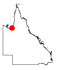
The image was supplied by the European Space Agency and processed by the Queensland Government's Remote Sensing Centre. The approximate location of the image is marked by the red dot in the map of Queensland.
References
Murray NJ, Phinn SR, Clemens RS, Roelfsema CM, Fuller RA (2012). Continental scale mapping of tidal flats across east Asia using the Landsat Archive. Remote Sensing 4(11):3417–3426.
Pham, TD; Yokoya N; Bui DT; Yoshino K; Friess DA (2019). Remote sensing approaches for monitoring mangrove species, structure, and biomass: opportunities and challenges. Remote Sensing 11(3), 230.
Phinn S, Roelfsema C, Kovacs E, Canto R, Lyons M, Saunders M, Maxwell P (2018). Mapping, Monitoring and Modelling Seagrass Using Remote Sensing Techniques. In: Larkum A, Kendrick G, Ralph (eds) Seagrasses of Australia (pp. 445-487). Springer, Cham.