


July
About the Image
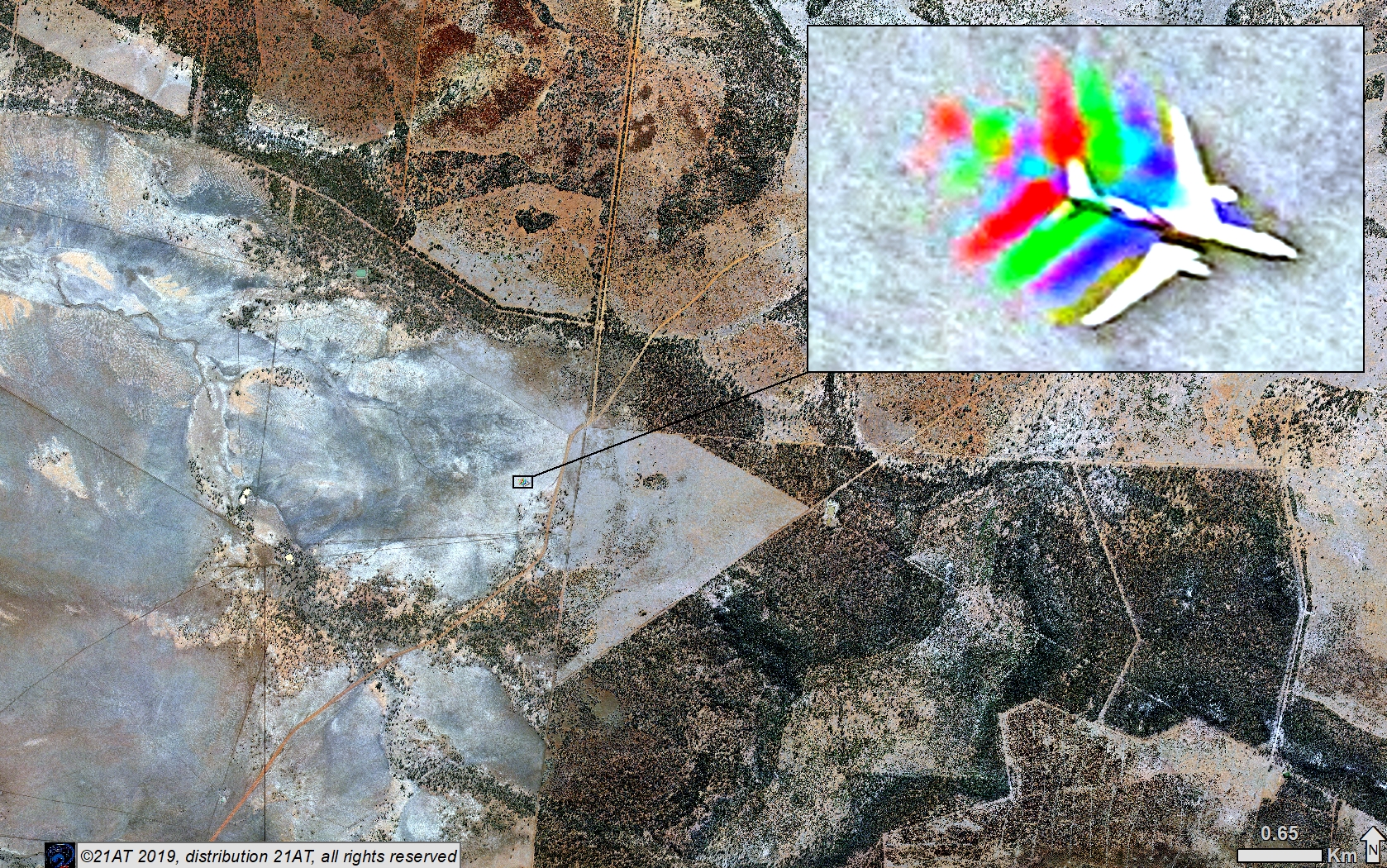
The main image shows an area of the Mulga Lands bioregion, near Morven in southern Queensland. The Mulga Lands are characterised by dry sandy plains, with low woodlands and shrublands dominated by Acacia aneura (mulga). In this true-colour, pan-sharpened image, mulga vegetation appears as dark-green flecks of various sizes. Land with clay soil appears as shades of light-brown and grey. The landscape is criss-crossed by linear features such as the fences, tracks, and roads that delineate paddocks and property boundaries.
The inset is a zoomed-in portion of the main image, showing a white aircraft with what appear to be red, green, and blue phantom aircraft trailing. The colourful phantom aircraft are not really there, of course. Rather, they are a result of how the image was captured and processed.
Moving targets
Earth-observation satellites are optimised to capture natural and built features of the environment, such as vegetation, geological formations, agricultural crops, and buildings and roads. While these features change slowly over time, they are very slow changing relative to the speed of sun-synchronous Earth-observation satellites, which travel at a land speed equivalent of approximately 8 km/s. Because the satellite is travelling in a known orbit, corrections are systematically applied to account for the different position of each sensor (panchromatic, multispectral, near-infrared) in the satellite as they capture images of Earth’s surface. These corrections ensure that a landscape feature, such as a mulga tree, is in the same position in each of the images captured by the on-board sensors. This process is known as band-to-band registration and is routine for satellites with Earth-observation payloads. For an object such as an aircraft, in relatively fast motion between the target (the ground) and the sensor, band-to-band registration can result in image artefacts, such as these phantom features.
Technical details
This image was captured on 18 June 2018 by the TripleSat-3 satellite. The TripleSat/DMC3 constellation consists of three identical optical Earth-observation satellites, which capture 0.8-m panchromatic and 3.2-m multispectral imagery. Multispectral imagery is captured in red, blue, and green (i.e. visible) and near-infrared wavelengths. To create a single image from the five channels of image data, a process called pan-sharpening is used. Pan-sharpening merges (higher resolution) panchromatic with (lower resolution) multispectral imagery, to create a single high-resolution colour image.
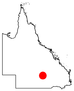
The image was processed and supplied by vendor, 21AT, as part of the Queensland Government’s subscription plan for satellite imagery. The location of the image is marked by the red dot in the map of Queensland (right).