About the Statewide Landcover and Trees Study (SLATS)
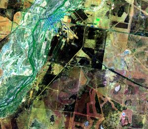
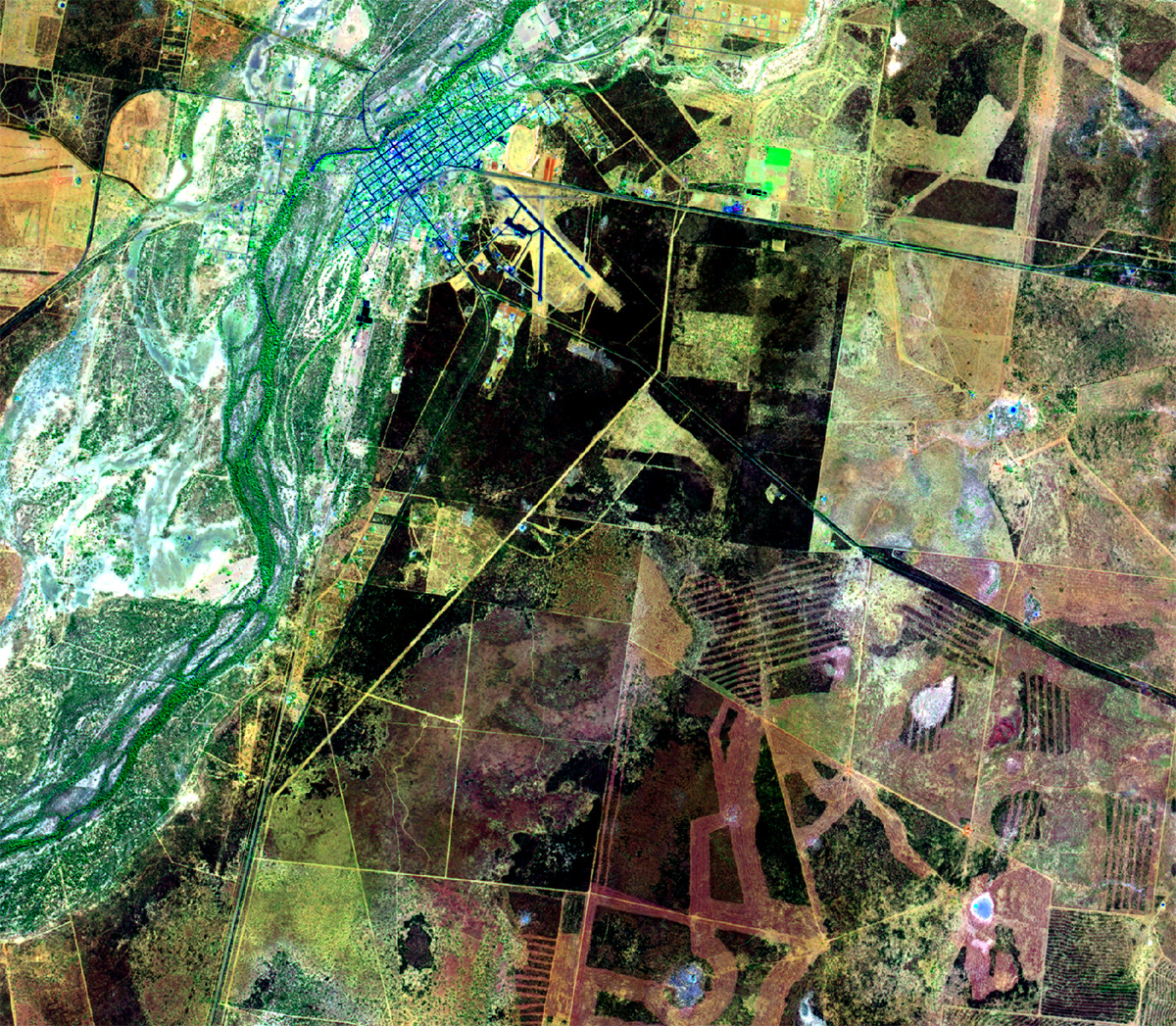
The Statewide Landcover and Trees Study (SLATS) is a scientific monitoring program undertaken by the Department of the Environment, Tourism, Science and Innovation in partnership with the Department of Natural Resources and Mines, Manufacturing and Regional and Rural Development and the Joint Remote Sensing Research Program.
Satellite imagery and field data are used to monitor and report changes in woody vegetation extent in Queensland and provide information about other woody vegetation attributes such as foliage density and age since disturbance.
Why SLATS reporting is important
The data and information from SLATS reporting supports vegetation management and protection of the Great Barrier Reef in Queensland, land management and environmental stewardship initiatives, biodiversity conservation, protected areas management, and fire management.
SLATS provides:
- a comprehensive vegetation monitoring, assessment and reporting framework for Queensland
- a framework for accounting and reporting of vegetation extent change across the state, and
- important data products that can be used to support a range of environment and natural resource management applications.
SLATS is made possible by the Queensland Government’s continued investment in satellite imagery and computing technologies, as well as long-standing programs such as Regional ecosystem mapping and the BioCondition framework.
Combined, these initiatives provide a spatially and temporally comprehensive account of Queensland’s vegetation and ecosystems based on peer-reviewed science.
More information
- SLATS methodology—information about current and previous methodologies.
- Current SLATS reports—view current reports.
- Current SLATS data products—view and access the current series of data products.
- Previous SLATS reports—view and access previous reports, data products and publications.
Contact
- For general SLATS enquiries, email SLATS_enquiries@detsi.qld.gov.au
- Find more information about the Joint Remote Sensing Research Program.
- Contact the Department of Natural Resources and Mines, Manufacturing, and Regional and Rural Development for enquiries about vegetation management in Queensland.