2023–24 SLATS Clearing Report
Statewide overview
Key findings
- In the 2023–24 monitoring period, 274,616ha of woody vegetation was affected by clearing activity. This is a 17% decrease in clearing activity from 2022–23 (332,015ha) and about two-and-half times less clearing activity than was reported in 2018-19.
- Of the total clearing activity, 233,253ha (85%) resulted in full removal of the woody vegetation. This is a decrease of 14% in full clearing from 2022–23. The remaining 41,363ha of clearing activity in 2023–24 was partial clearing.
Clearing activity
Clearing activity 2018–19 to 2023–24
Area of clearing activity from 2018–19 to 2023–24.
- Full clearing refers to areas which have been converted from woody to non-woody (i.e. less than 10% crown cover remains).
- Partial (major) are clearing areas where the woody vegetation has been significantly modified but remains woody (i.e. greater than 10% crown cover remains but more than 50% of the area has been affected by the clearing).
- Partial (minor) are clearing areas where some modification of the woody vegetation has occurred, remaining woody (i.e. greater than 10% crown cover remains but less than 50% of the area has been affected by the clearing).
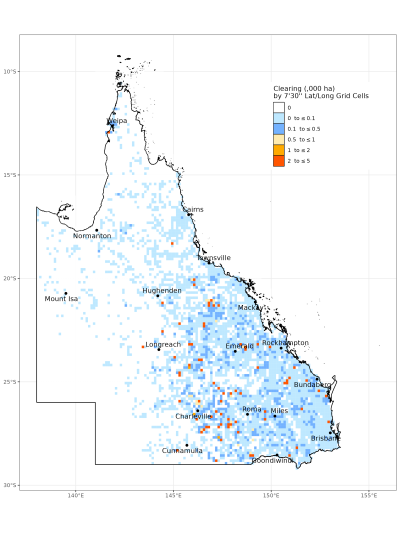
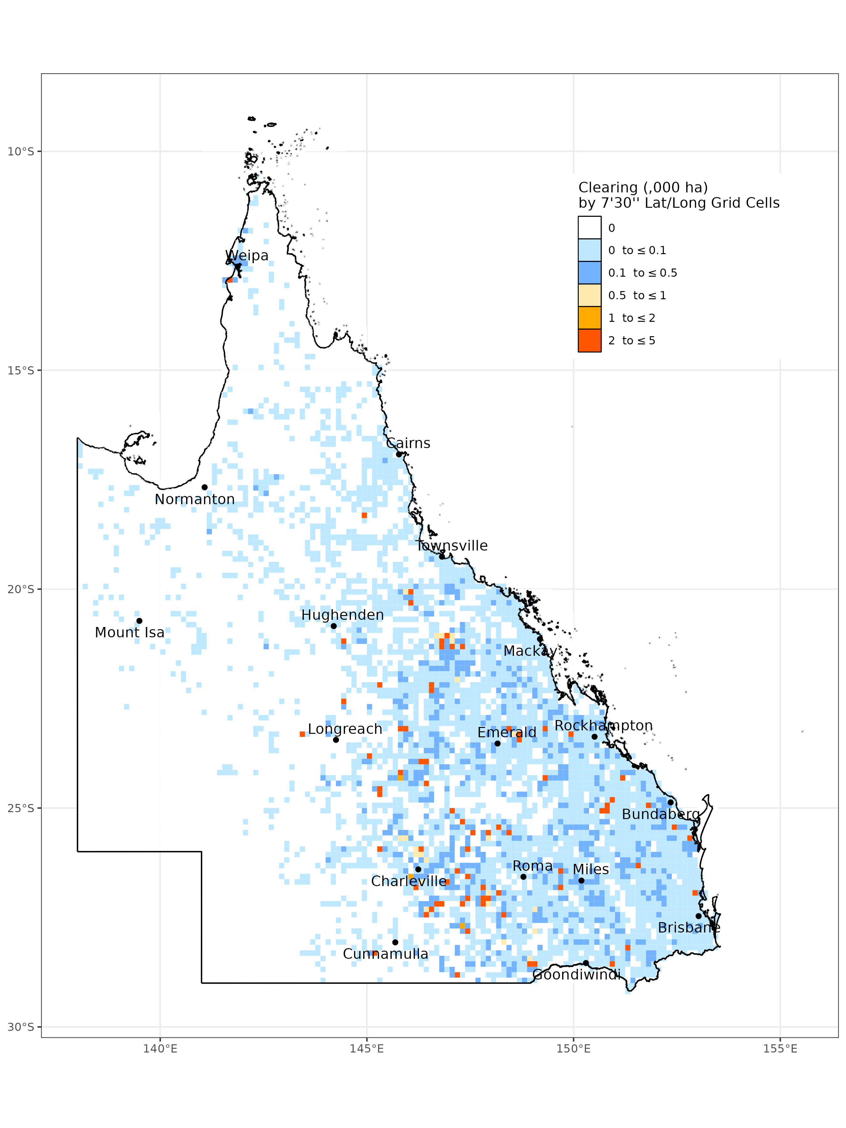
Spatial distribution of clearing activity 2023–24
For more detailed breakdowns of clearing activity in the 2023–24 monitoring period, refer to the Statewide breakdown.