Mapping products
Availability and data access
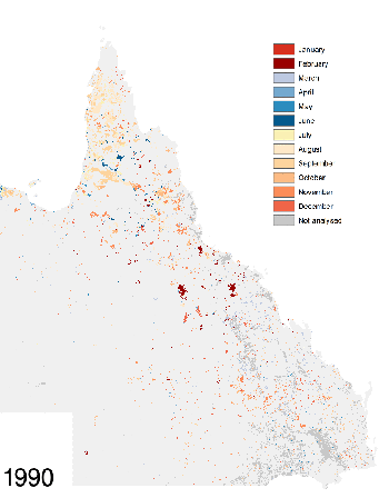
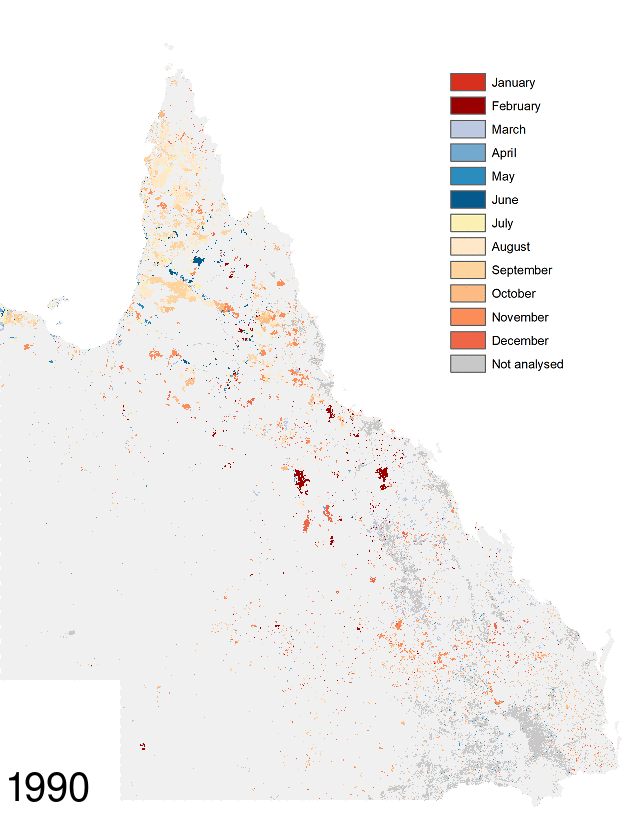
Statewide fire scar mapping is available from the Queensland Spatial Catalogue - QSpatial (using the search term ‘fire scars’) and from the TERN Data Discovery Portal (2017 onwards and 1986–2016). Data types are:
- 2017 onwards
- 10m resolution maps derived from Sentinel-2 satellite imagery, quality controlled through manual editing.
- 2013–2016
- maps at 30m resolution, derived from Landsat satellite imagery, quality controlled through manual editing.
- 1986–2013
- maps at 30m resolution (1986-2013), derived from Landsat satellite imagery, automated output only.
Limitations
- These products do not provide a complete record of all fires in Queensland.
- Some fire scars may not be included due to data loss from satellite sensor malfunction, time gaps between satellite overpasses, cloud cover and associated shadow, haze and smoke.
- Misclassified or ‘false’ fire scars may occur due to the difficulty of automatically separating fire scars from other features which appear similar in the imagery such as cloud shadows, periodic inundation and some cropping areas. Mapped fire scar extents may not be complete or may extend beyond the actual fire scar.
- Due to the timing of satellite overpasses, the date of detection of the fire scar can be different to the date of the actual fire event.