Conserved areas (Other Effective area-based Conservation Measures) in Queensland
Other Effective area-based Conservation Measures (OECMs) are areas outside of protected areas that provide effective, long-term, in-situ biodiversity conservation.
In Australia, OECMs are also referred to as ‘conserved areas’.
Conserved areas are different from protected areas. A key distinction is that biodiversity conservation does not need to be the primary management objective for a conserved area. Rather, biodiversity conservation may be a secondary management objective, or even an ancillary outcome of the way an area is managed; for example, water catchment areas that provide important habitat for threatened species.
Conserved area recognition may be considered for areas where formal protected area designation is not possible, appropriate or supported.
Australia’s conserved area network
In 2024, the Australian Government released the National Other Effective area-based Conservation Measures (OECMs) Framework to enable the recognition of terrestrial conserved areas in Australia. This framework only applies to land and inland waters. It does not apply to marine areas at present.
Conserved areas contribute towards Australia’s national target of protecting and conserving 30 per cent of land, including inland waters, by 2030.
Conserved areas also contribute towards Target 3 of the Kunming-Montreal Global Biodiversity Framework. This target aims to protect and conserve 30 per cent of terrestrial and 30 per cent of marine areas by 2030, with an emphasis on ecologically representative, well-connected and equitably governed systems of protected areas and conserved areas.
Sites with conserved area potential
Sites that may be recognised as conserved areas include, but are not limited to:
- privately-owned land
- state land
- local government reserves
- travelling stock routes
- water catchment areas
- natural areas managed by universities for research
- environmental offset sites.
Sites without conserved area potential
Examples of areas that are not eligible for conserved area recognition include protected areas, forests managed exclusively for timber supply, and agricultural grasslands grazed too intensively to support native grasslands.
Why consider conserved area recognition?
There are several reasons a landholder may consider nominating their property for conserved area recognition. Conserved areas provide landholders with the opportunity to:
- achieve international recognition for their conservation efforts, whilst simultaneously contributing to national and global biodiversity targets, without altering their existing land management practices
- safeguard important biodiversity values, resulting in benefits for ecosystem services. For example, maintaining natural vegetation in a water catchment will improve water quality
- continue with existing activities on their property, provided they do not impede conservation outcomes
- build partnerships with other conservation-focused entities for collaborative land management and stewardship
- cultivate ecosystems that are more resilient in the face of challenges like climate change and invasive species
- make significant contributions to the preservation of wildlife by protecting crucial habitats on their land
- seek funding opportunities under the Nature Repair Market once relevant methods become operational
- incorporate an additional safeguard on their land if there are barriers preventing the formal protection of the site, such as the inability to register a conservation covenant on the property's title.
How to nominate a site for conserved area recognition
The National OECMs Framework includes a site assessment tool, which is used to assess areas for their eligibility for conserved area recognition.
Landholders in Queensland interested in pursuing conserved area recognition may complete the site assessment tool and submit it to the department for consideration by emailing oecms@detsi.qld.gov.au. The department will review the completed assessment and advise the landholder of the outcome once complete.
Queensland’s conserved areas
Weranga Scarps – Australia’s first conserved area
Location and landholder
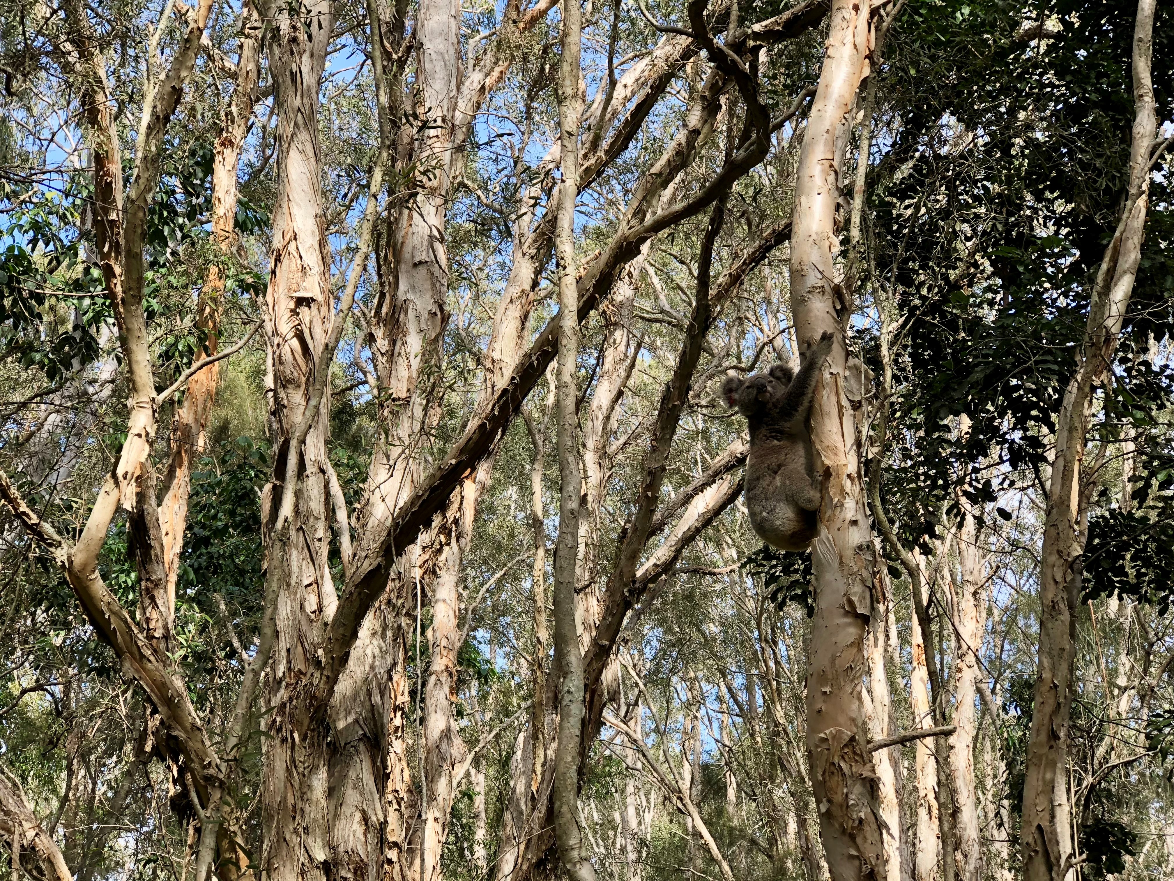
Weranga Scarps is a 48-hectare property located roughly 70km south-west of Dalby in Queensland’s Western Downs region. Nestled within the Brigalow Belt bioregion, Weranga Scarps stands as a rare conservation stronghold in a landscape where nearly half of Queensland’s land clearing occurs.
Weranga Scarps is owned and managed by Wildlife Land Fund Limited (WLFL), a not-for-profit organisation dedicated to the preservation of Queensland’s unique wildlife and habitats. Established in 2001 by the Wildlife Preservation Society of Queensland, WLFL is successfully managing five environmentally significant properties.
Originally owned by Wayne Lawler, a celebrated conservation photographer, Weranga Scarps was gifted to WLFL following his passing in 2021. Thanks to a successful donor campaign that raised $50,000, WLFL was able to expand the property by acquiring an adjoining 12-hectare block.
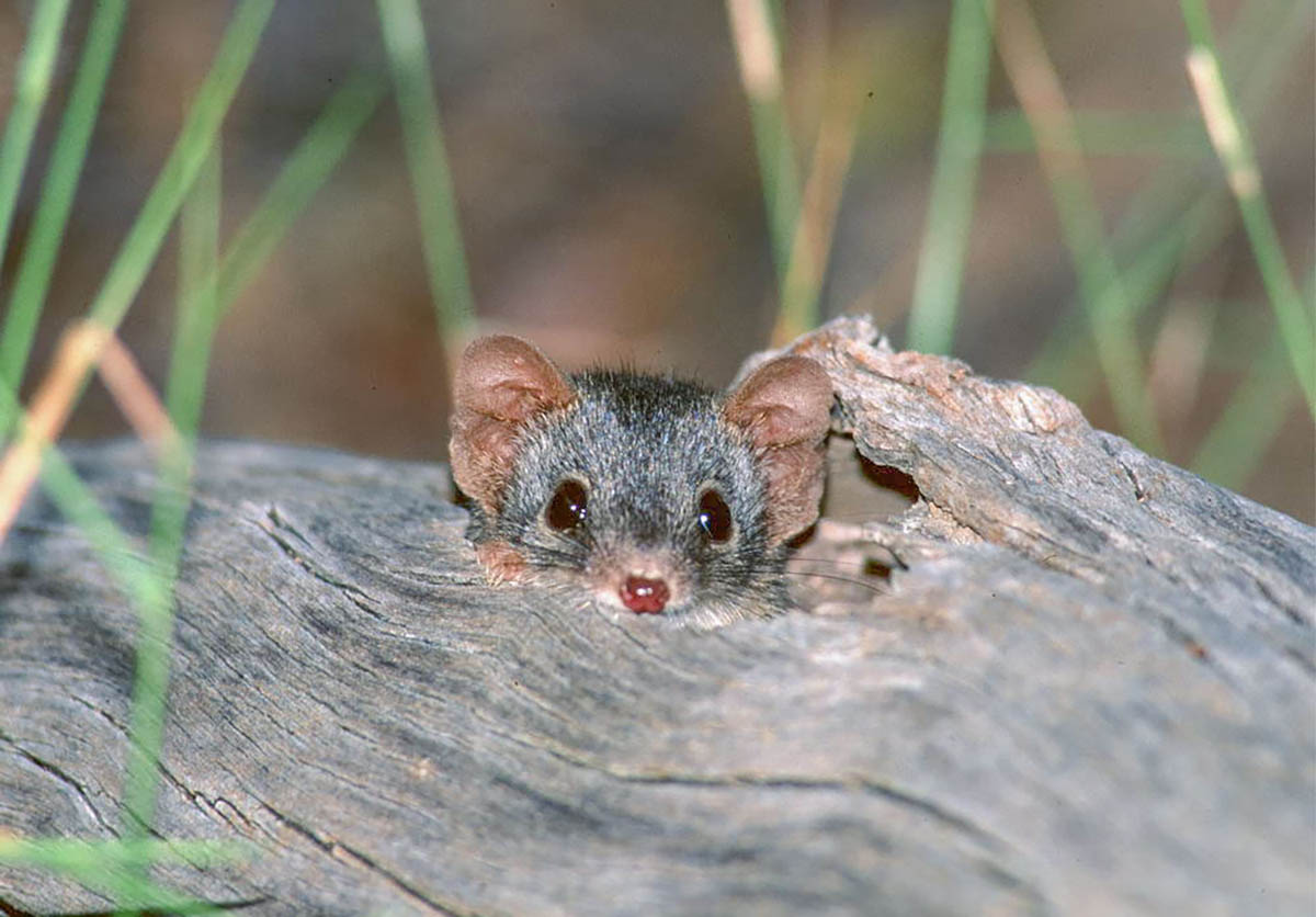
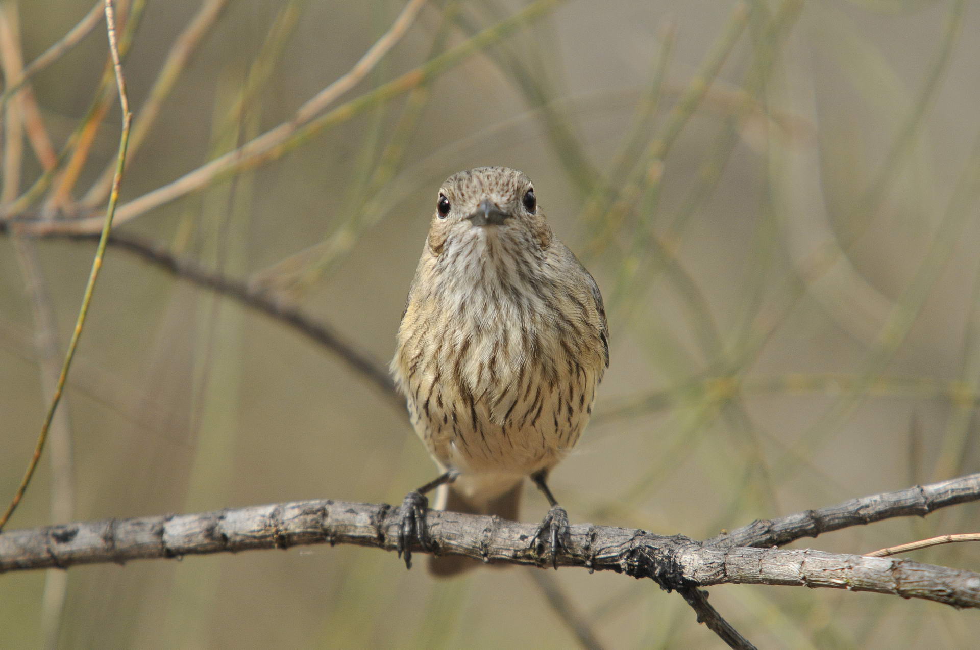
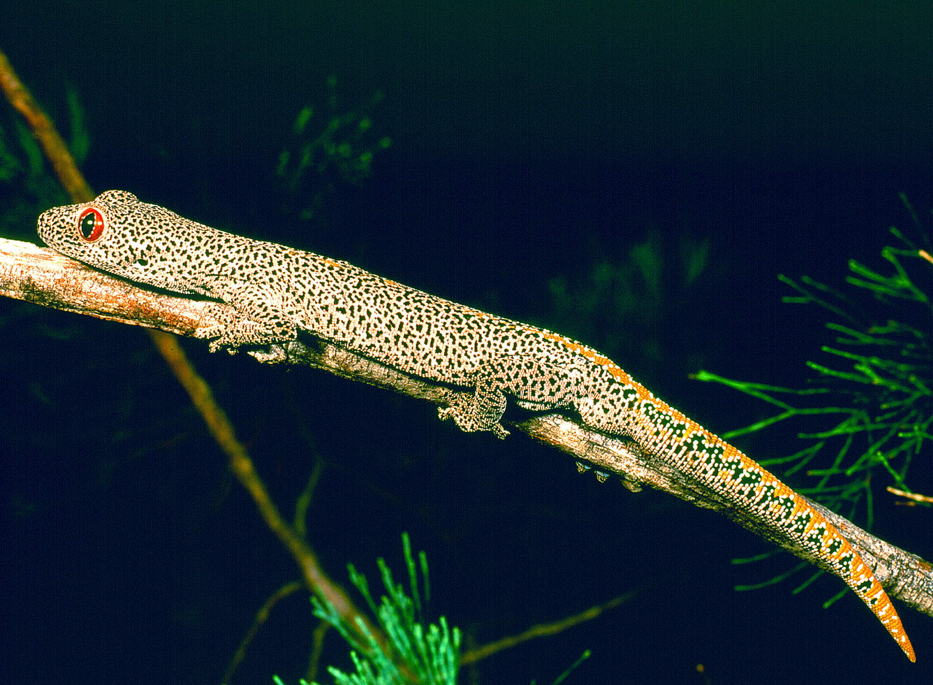
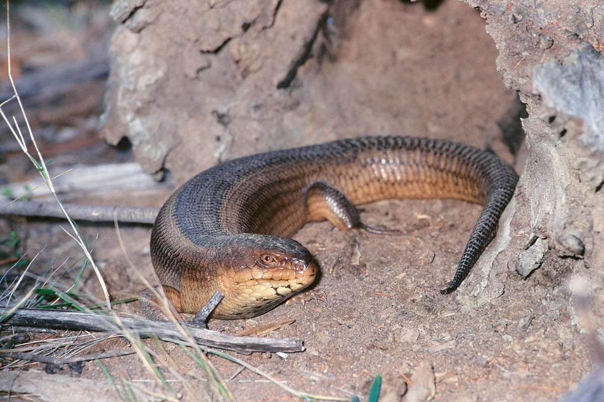
Fauna
The site is home to a diverse range of wildlife, including iconic species such as the koala (Phascolarctos cinereus) and the glossy black-cockatoo (Calyptorhynchus lathami). 126 other bird species have also been recorded on site, highlighting its importance as a haven for biodiversity.
Flora
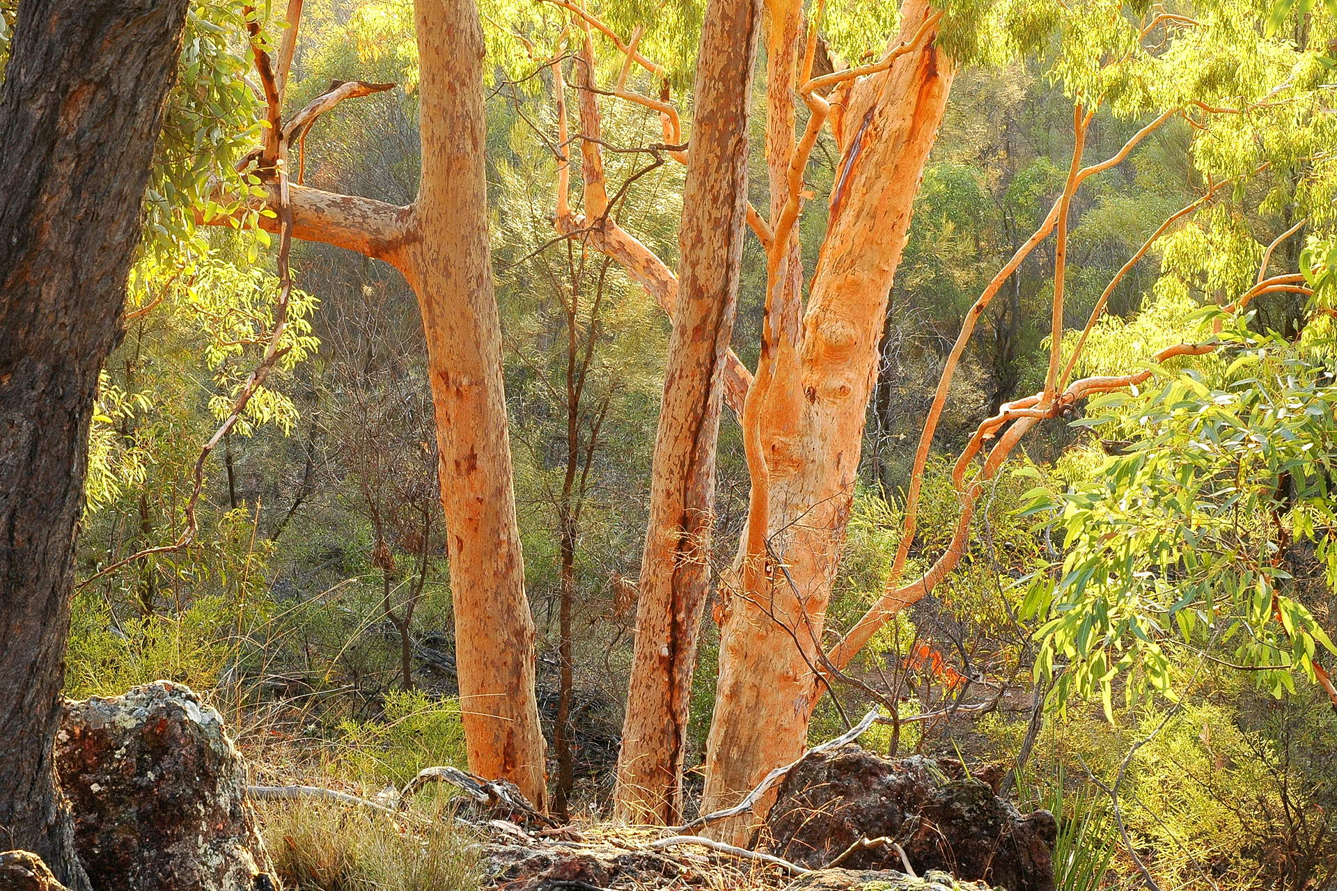
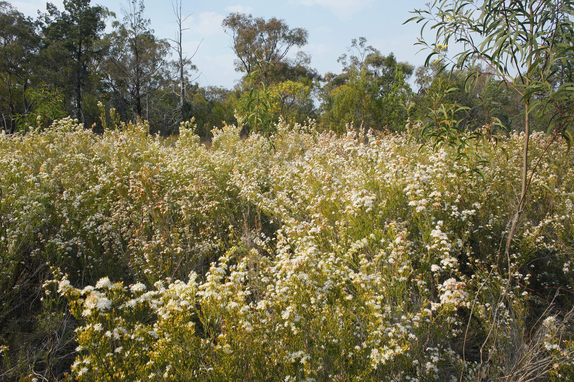
The landscape of Weranga Scarps features highly intact eucalypt and cypress woodland ecosystems. The site also contains ephemeral wet areas with dense calytrix tall heathland, which filters water running off the escarpment.
Site management objective: Protecting and restoring the unique ecosystems and the species that rely on them.
Management action/s
- Invasive weeds are monitored through biannual surveys conducted in late summer-autumn and spring.
- Annual predator control programs for feral dogs, cats, foxes and pigs are implemented to reduce pressure on native fauna.
- Vegetation is routinely assessed to monitor habitat condition and support regeneration.
Desired outcome/s
- High priority weed areas are identified early and treated effectively.
- Threatened native species like the yakka skink and koala are protected.
- Unique ecosystems are restored.
Through its dedicated efforts, WLFL continues to maintain Weranga Scarps as a vital refuge for Queensland’s wildlife, demonstrating how privately-owned conserved areas can play a pivotal role in safeguarding Australia’s rich biodiversity.
McCoys Creek Wetland
Location
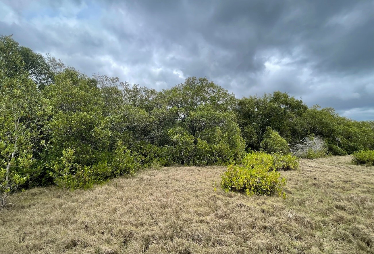
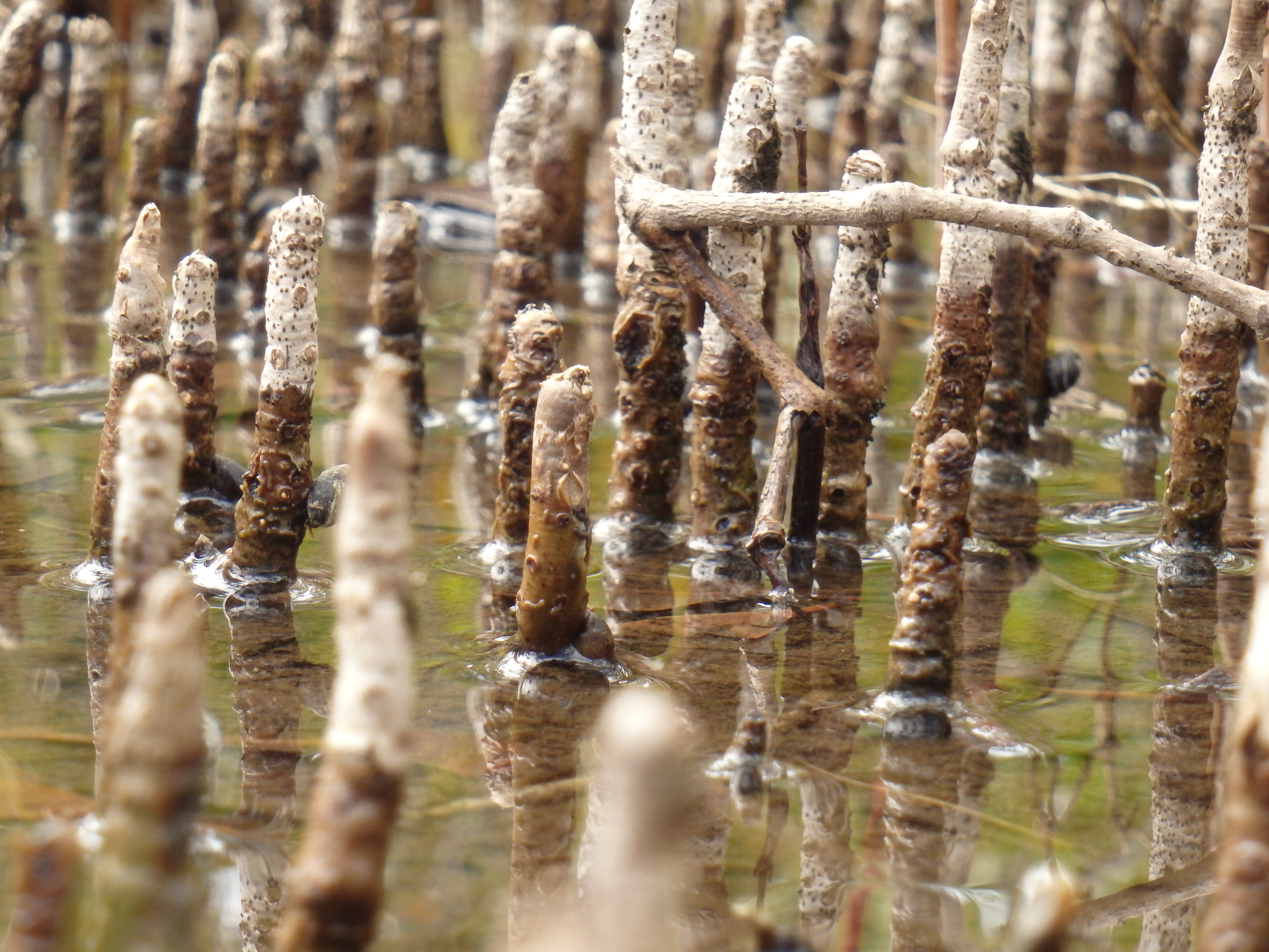
McCoys Creek Wetland is a 146-hectare biologically diverse reserve, located in east Coomera, approximately 25km north of the Gold Coast CBD. This reserve sits within the City of Gold Coast’s Northern Koala Corridor, which is being established to enhance and secure the iconic koala population in this important landscape. The area contains a significant portion of the McCoys Creek waterway, securing riparian habitat and forming part of the Moreton Bay Ramsar wetlands. The property also adjoins the 14-hectare Pimpama Conservation Park, which features an endangered paperbark open forest ecosystem and areas of koala habitat.
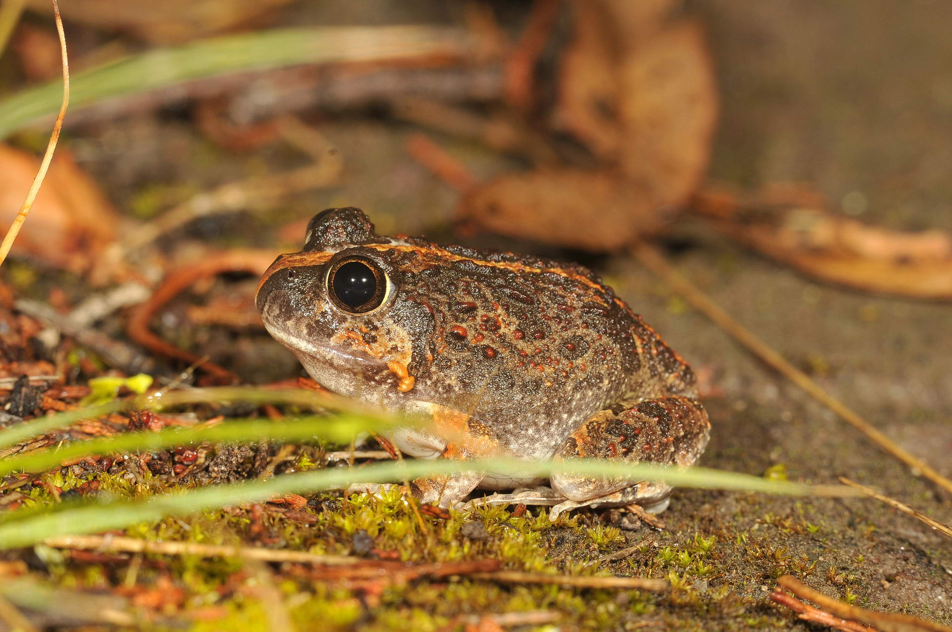
Fauna
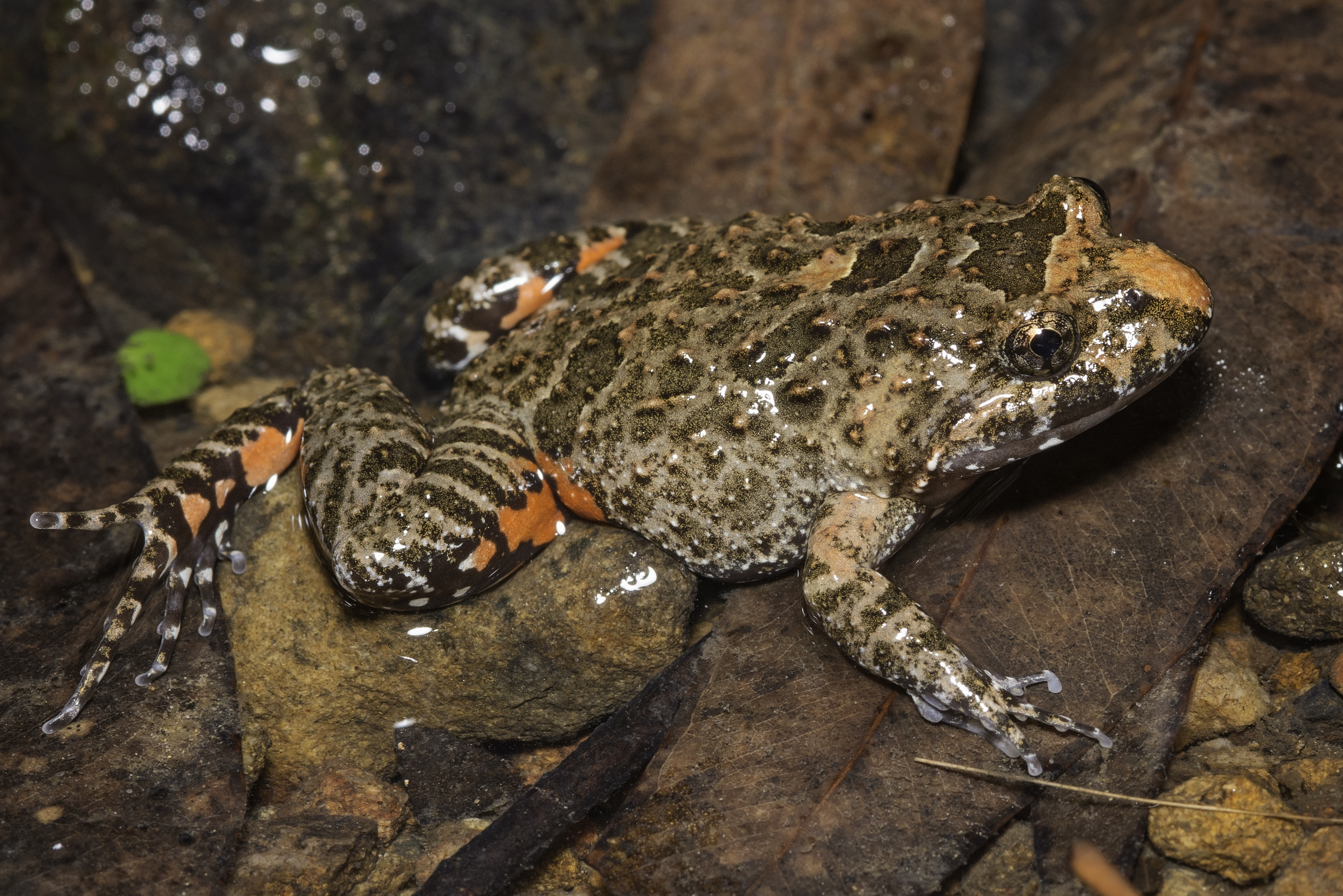
The significant species found on site include the koala, tusked frog, and water mouse.
Flora
Significant species include the Moreton Bay lily (Proiphys cunninghamii).
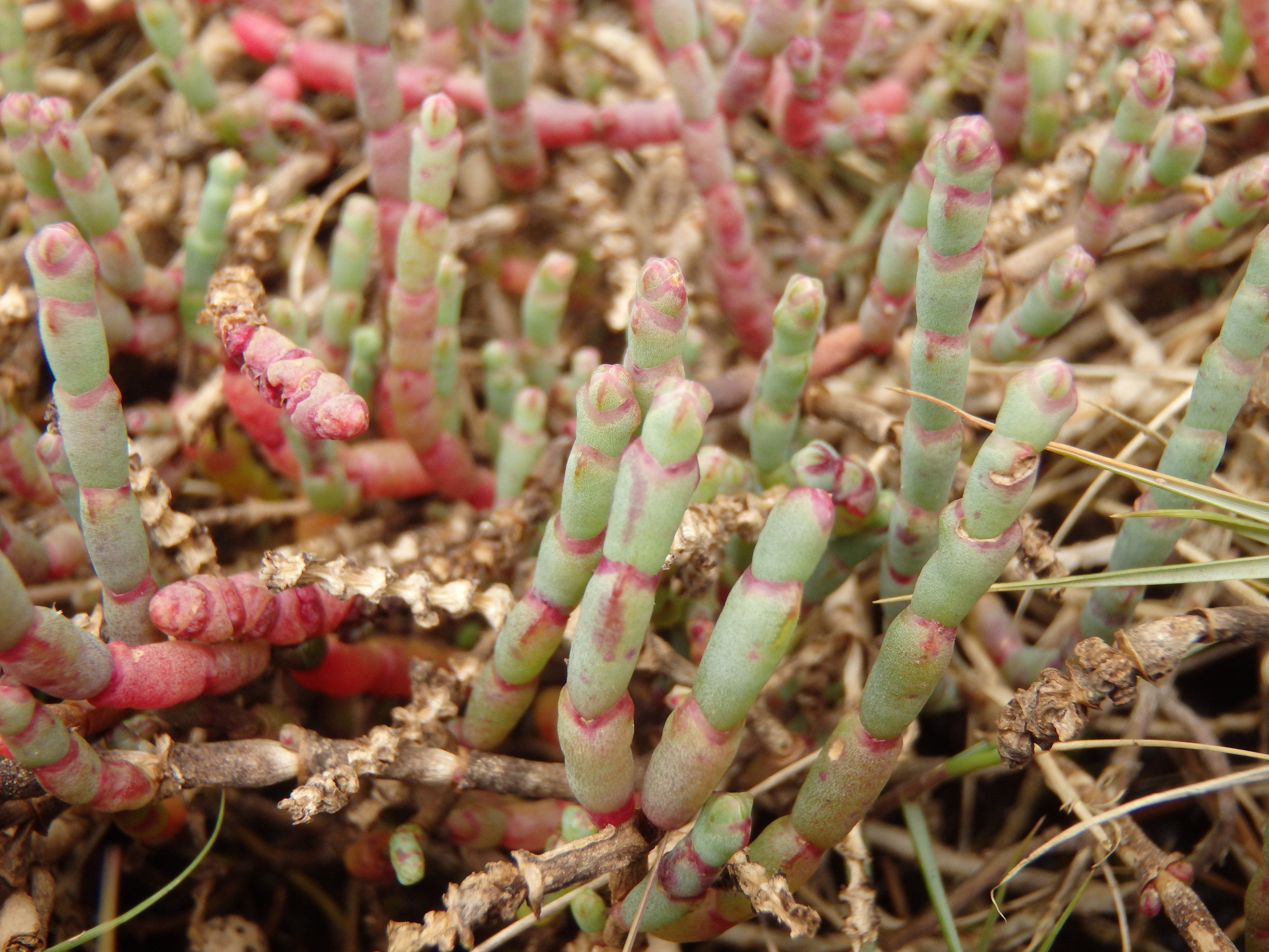
The site also contains two federally-listed threatened ecological communities - the endangered coastal swamp oak (Casuarina glauca) forest of New South Wales and South East Queensland and the vulnerable subtropical and temperate coastal saltmarsh. Additionally, the site also contains two state-listed threatened regional ecosystems (RE), including the endangered paperbark open forest and blackbutt open forest.

Site management objective: The property is managed to conserve and restore the site's native habitat.
Management action/s
- Targeted weed control programs and restoration of disturbed areas.
- On-ground monitoring, surveys, and control of feral pigs, fire ants, wild dogs, foxes, and feral cats.
- Restore wildlife corridors and install koala awareness signage.
- Conduct health checks and monitor presence of chlamydia in koalas.
- Implement fire management, control weeds, and restore habitats post-fire.
- Plant native vegetation to stabilise soils and reduce erosion.
Desired outcome/s
- Prevent weed infestations, habitat loss, and disruptions to hydrology and soil composition.
- Protect habitats from degradation and reduce predation of threatened species like the koala and water mouse.
- Protect koalas from urban development and increased traffic.
- Maintain healthy koala populations and manage disease outbreaks effectively.
- Reduce fuel loads and support biodiversity recovery after fires.
- Enhance flood resilience, protect key species, and maintain water quality.
McCoys Creek Wetland plays a vital role within a larger ecological corridor dedicated to preserving Queensland’s iconic flora and fauna. By protecting critical ecosystems, the wetland will help ensure the continued survival and prosperity of key species in the area.
Frequently Asked Questions
Sites that may be recognised as conserved areas include, but are not limited to:
- privately-owned land
- state land
- local government reserves
- travelling stock routes
- water catchment areas
- natural areas managed by universities for research
- environmental offset sites.
Examples of areas that are not eligible for conserved area recognition include protected areas, forests managed exclusively for timber supply, and agricultural grasslands grazed too intensively to support native grasslands.
There are several reasons a landholder may consider nominating their property for conserved area recognition. Conserved areas provide landholders with the opportunity to:
- gain international recognition for their conservation efforts, and contribution to national and global biodiversity targets, without requiring changes to their existing land management practices
- maintain existing land use activities, provided they align with and do not compromise biodiversity conservation outcomes
- deliver tangible benefits for ecosystem services. For example, preserving natural vegetation in water catchments can improve water quality and reduce erosion
- support wildlife preservation by safeguarding important habitats and corridors
- enhance ecosystem resilience to better withstand challenges such as climate change, invasive species, and other environmental pressures
- pursue funding opportunities, such as the Nature Repair Market
- foster partnerships with conservation-focused organisations.
A protected area has biodiversity conservation as the primary purpose of the site. On the other hand, conserved areas may facilitate the conservation of biodiversity as either a primary or secondary management objective, or even incidentally through management activities not directly aimed at conservation.
Protected areas contribute to the National Reserve System, whereas conserved areas contribute to the national Conserved Area Network.
Conserved areas do not replace protected areas – they are complementary mechanisms designed to broaden the number of safe spaces for nature. Both contribute to national and international biodiversity targets.
A property recognised as a conserved area can still transition to a protected area in the future if the landholder chooses and the property meets the requirements.
Think of it this way:
- Public protected areas (like national parks) = highest level of legal security for conservation.
- Private protected areas (like nature refuges) = a moderate level of legal security for conservation.
- Conserved areas = more flexible recognition that still contributes to national and global biodiversity targets.
Conserved area recognition may be considered for areas where formal protected area designation is not possible, appropriate or supported. However, private landholders are encouraged to explore the Private Protected Area Program as a first step. Protected areas provide the highest level of legal security for conservation, ensuring perpetual protection for your property’s unique natural values.
By declaring a property as a nature refuge or special wildlife reserve, a site can contribute to Australia’s national reserve system of protected areas. These private protected areas are legally protected under the Nature Conservation Act 1992, limiting activities such as land clearing or development.
While conserved areas also have strict conditions, such as long-term management and reporting, recognition on its own does not offer the same level of legal protection unless the area is also protected under other legislation.
If a landholder chooses to pursue a conserved area initially, the property can still transition to a protected area in the future if a landholder decides to take that step.
Yes, a site cannot be both at the same time. If you’re undecided, you should consider the Private Protected Area Program first. For large blocks of land with high biodiversity values, protected area status is encouraged over conserved area status.
If your property does not meet the requirements for protected area status, conserved area recognition is still a valuable contribution. There is also the potential to later transition from a conserved area to a protected area if it suits your goals and the land meets the requirements.
Assessments for conserved areas are conducted on a site-by-site basis, using the site assessment tool. The site is assessed under the National OECMs Framework, with boundaries, size, land type, and tenure verified, and presence of biodiversity values confirmed. If there is uncertainty, further information may be required. In Queensland, this process is undertaken by the Department of the Environment, Tourism, Science and Innovation.
Once the assessment is complete, the landholder will be informed of the outcome. If a site meets the eligibility criteria under the National OECMs Framework, it will be formally recognised as a conserved area and added to the Conserved Area Network by the Commonwealth Department of Climate Change, Energy, the Environment and Water. Lastly, the site will be listed on the World Database on Protected and Conserved Areas.
Conserved area recognition has no impact on the land tenure or the title of a property.
There is no minimum or maximum size requirement for conserved areas. However, the site must be large enough to support the long-term in-situ conservation of biodiversity, including all ecosystems, habitats, and species present. The adequacy of the site’s size will also depend on its ecological connectivity to other suitable areas.
Long-term management arrangements for conserved areas should be in-perpetuity, but if this is not possible, then the minimum should be at least 99 years.
Where there are underlying legal or land tenure restrictions or other constraints to securing in-perpetuity conservation, there should be a formal or legal commitment of at least 25 years (such as a fixed term covenant) coupled with a long-term conservation management commitment of at least 99 years.
Consent to assess a site’s eligibility for recognition as a conserved area must be given by the site’s governance authority (or authorities) and the legal owner of the site (if different). This includes obtaining free, prior and informed consent from First Nations peoples who govern a site (i.e. the area is under the authority of a First Nations entity, or an agreed upon combination of entities that includes First Nations people).
All parties must also provide consent for the site to be recognised as a conserved area.
Under the National OECMs Framework, a conserved area is required to support at least one of the following biodiversity values:
- threatened species and ecological communities
- range restricted species or ecosystems
- important species aggregations, such as spawning, breeding or feeding areas
- a high level of ecological integrity or intactness
- ecological connectivity – recognising that ecosystem processes are functionally connected across the landscape
- natural ecosystems in bioregions or subregions that are underrepresented in Australia’s Protected Area Network (National Reserve System)
- biodiversity values recognised through existing designations (e.g. World Heritage properties or Ramsar sites).
Conserved areas may also support cultural values. These can be tangible, like species, ecological communities, scar trees, or rock formations. They can also be intangible, like songlines, totems, and language.
The existing owner or governance authority should inform the Department of the Environment, Tourism, Science and Innovation that the property is changing hands. This provides an opportunity for the department to contact the new landholder to seek consent for the property to maintain its conserved area status. This will require the new landholder to undertake management, monitoring and reporting for the site. If the new landholder does not consent, the site will no longer be recognised as a conserved area. It will be withdrawn from the Conserved Area Network and World Database on Protected and Conserved Areas.
The Department of the Environment, Tourism, Science and Innovation does not offer financial incentives for conserved areas. However, they may be eligible for funding opportunities under the Nature Repair Market.
The department offers funding for its Private Protected Area Program through NatureAssist and Nature Refuge Landholder Grants.
There are no rate concessions or tax breaks for conserved areas. However, recognising a site as a conserved area may potentially open doors to partnerships with conservation groups and other like-minded landholders, and could also lead to funding opportunities, such as the Nature Repair Market.
For sites with a primary or secondary biodiversity conservation management objective, suitable management arrangements must be in place, such as one or a combination of the following:
- a management plan
- a management statement or equivalent (including those that have a broader focus but that include a section on biodiversity conservation)
- supplementary documents that define conservation objectives and complement existing plans (e.g. restoration or monitoring plans)
- information in a strategy or plan that covers multiple sites
- information provided in the site assessment tool as part of the assessment process.
Management arrangements must outline a site’s conservation objectives, important biodiversity values and where relevant cultural values, identified threats, adaptive management actions, and monitoring strategies. They must also demonstrate compliance with legislative land management requirements, including invasive species control, fire risk mitigation, and the conservation of natural and cultural heritage. Where appropriate, First Nations peoples’ knowledge in caring for Country should also be considered.
Ancillary conserved areas do not require formal biodiversity conservation management arrangements.
No, conserved area recognition alone does not introduce any new restrictions over the land. However, the conserved area may be protected under different legislation that prohibits mining or other development.
Some protected areas on the other hand (such as a special wildlife reserve or national park) can protect a site from mining or development.
Contact information
If you have any questions or require further information regarding the process for conserved area recognition, please email the department at oecms@detsi.qld.gov.au
The privacy statement below is relevant to any person interested in submitting a completed site assessment tool to the department (contact: oecms@detsi.qld.gov.au).
The Department of the Environment, Tourism, Science and Innovation is collecting your personal information included in the site assessment tool, including your:
- landholder or organisation name
- site name
- address
- email address
- phone number
- lot on plan
- monitoring arrangements
- management plans
- photographs of the site
- maps of the site
- signature
We are collecting this information for the purpose of recognising a site as a conserved area under the National Other Effective area-based Conservation Measures Framework.
We provide the site name, lot on plan, and landholder or organisation name in full to the Australian Government Department of Climate Change, Energy, the Environment and Water (DCCEEW) for quality assurance and to fulfil the reporting requirements outlined in the National OECMs Framework.
Once a site is recognised, data on the conserved area is recorded in a national, publicly accessible database managed by DCCEEW. Internationally, the site information will be included in the publicly accessible World Database on OECMs managed by the United Nations Environment Programme World Conservation Monitoring Centre (UNEP-WCMC), with data stored in the United Kingdom.
We will not use your personal information for any other purpose unless we are authorised or required under an Australian law, or court or tribunal order, to do so.
You can find our privacy policy at https://www.detsi.qld.gov.au/help/legal/privacy.
Our policy explains how you can access and amend your personal information, how to make a complaint about the way we have handled your personal information, and how your complaint will be handled.
If you have any questions about how we manage your personal information related to a conserved area, contact oecms@detsi.qld.gov.au.
If you choose not to give us your personal information, this might impact our ability to deliver this service to you.
