Datasets
Land use datasets are available for Queensland catchments for a range of dates.
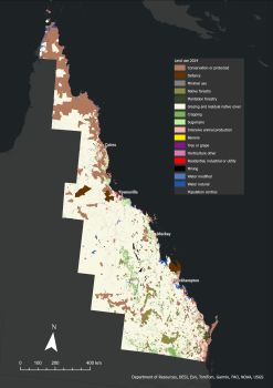
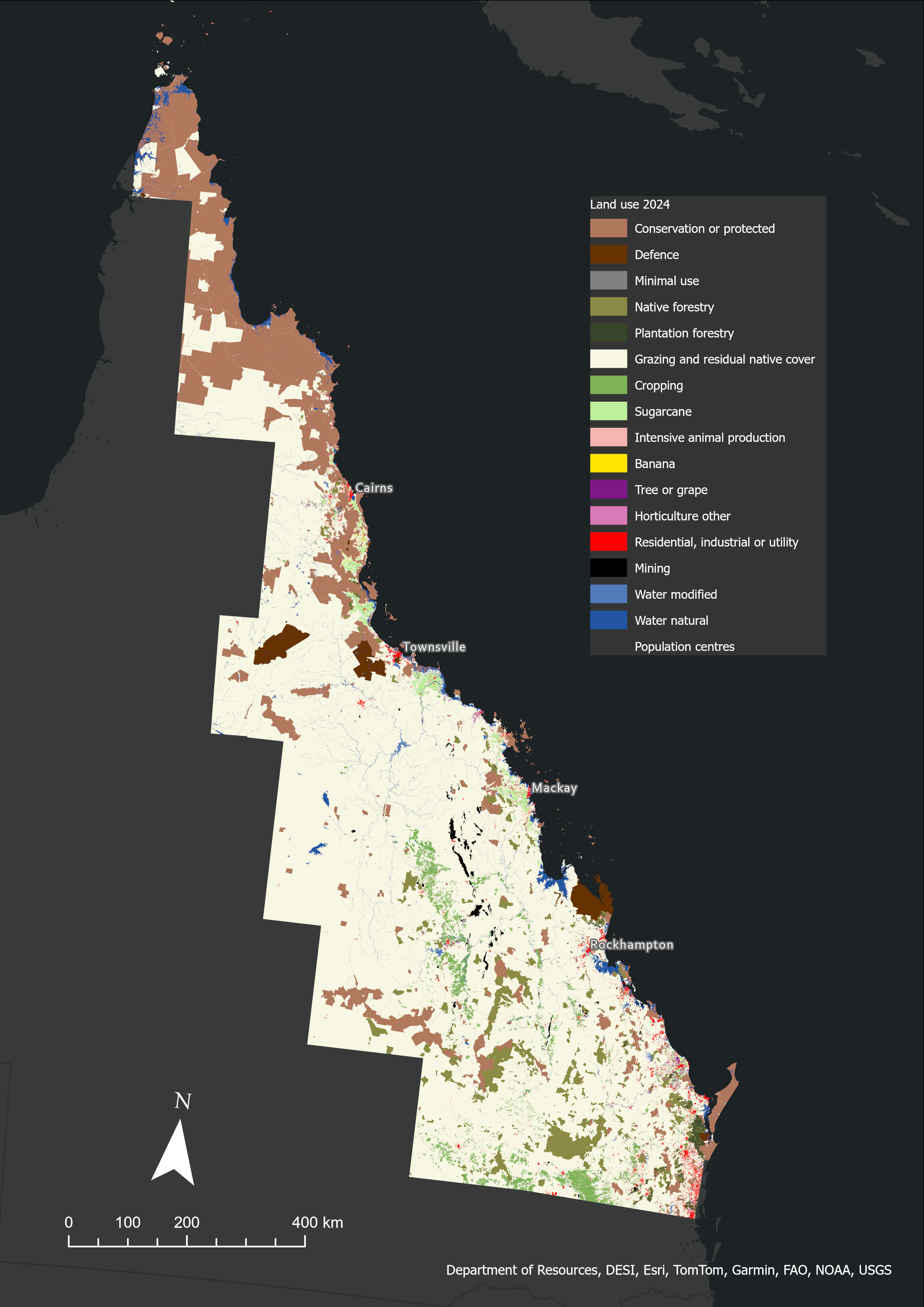
Figure 1 shows the latest mapping for the Great Barrier Reef (GBR) catchments, for 2024. Attribution of land use classes in 2024 was based on a simplified schema of 16 classes. View the table showing the aggregation of ALUMC codes assigned to this dataset.
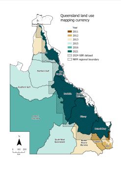
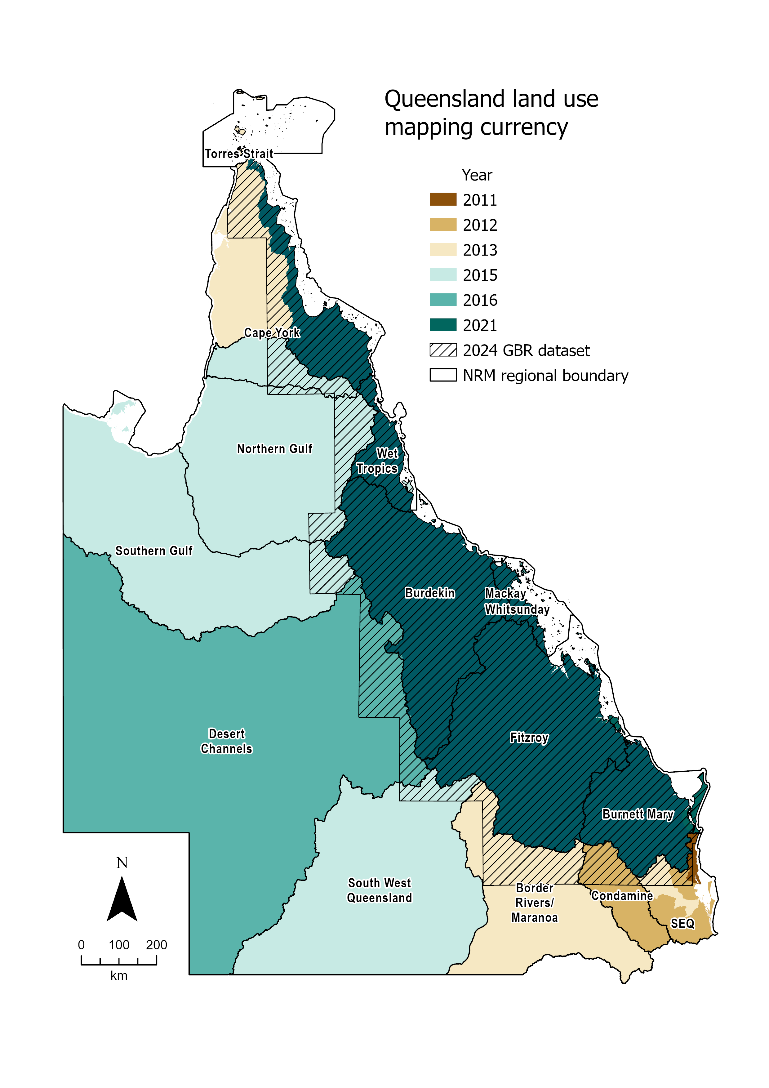
The Queensland Government maintains a single statewide layer that incorporates catchment mapping from 2011 to 2017 (see Figure 2). A new Queensland baseline land use map is currently being completed. The GBR 2024 dataset contributes to the statewide baseline land use map. Once completed, the baseline land use map will be a foundation dataset for regular statewide updates in the future.
You can download current and historical land use datasets through the Queensland Spatial Catalogue by following these steps:
- Go to 'search'.
- In the search terms field, enter "land use mapping" (including quotation marks) and select ‘go’.
- In the 'choose categories' drop-down list, select 'Planning Cadastre'.
You can also access summary reports of these datasets through reports and publications.
Access map and feature services
Use the Queensland Spatial Catalogue to access the web mapping services of the state-wide land use layer.
- Go to 'search'.
- In the search terms field, enter "land use mapping" (including quotation marks) and select ‘go’.
- In the 'content type' drop-down list, select 'Service'.