


February

About the Image
In this natural-colour Landsat-8 image, centred about 35 km east of Cunnamulla in western Queensland, a collection of white patches contrast strongly with the surrounding red, brown and grey tones of the semiarid landscape. These white patches are large claypans, each measuring over a kilometre wide in places. They are mostly unvegetated, in contrast to sparse grasses and low trees in the surrounding landscape.
Claypans for Satellite Calibration
On the day when this image was acquired—15th of November 2021—NASA manoeuvred the recently launched Landsat-9 satellite to fly in close formation with Landsat-8, creating a unique opportunity to calibrate the two satellites against each other, by viewing the same area under the same atmospheric conditions. As the two satellites have identical sensors, they should produce similar results.
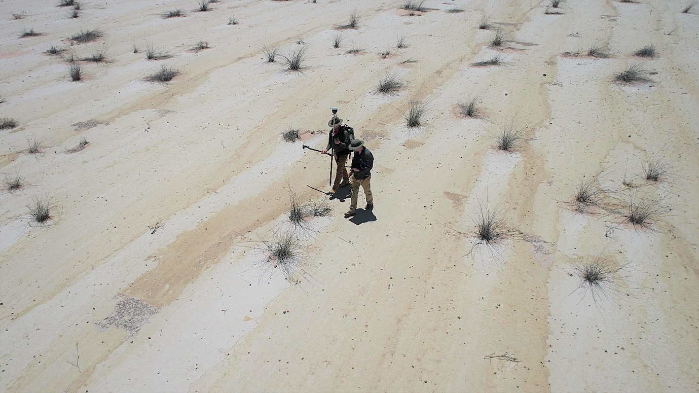
Claypans form where soil is continuously impacted by wind and water erosion, exposing a hardened and sealed layer of clay. The soil of claypans is generally inhospitable to plants, thus creating a highly reflectance surface. This, combined with their relative spatial uniformity, makes claypans well-suited as calibration sites for Earth-observing satellites. As part of a global effort, scientists from Queensland Government's Remote Sensing Centre visited one of these claypans on the same day as the satellite overpass. The scientists collected ground-based reflectance data, using a portable spectroradiometer device (see the photo below) for comparison with the satellite data. These data will be used to assess the performance of the satellites’ instruments, and their consistency across the Landsat program.
The Landsat Legacy
The Landsat program has been running since 1972. It is the longest-running continuous data collection program of its kind. The Landsat program has by now launched several generations of satellites, each implementing technological advances for Earth observation. The latest satellite, Landsat-9, was launched on the 27th of September 2021, in a joint venture between NASA and the United States Geological Survey. The satellite is similar in design to the preceding Landsat-8 satellite. It will eventually replace Landsat-7 in orbit, eight days out-of-phase with Landsat-8.
Since 2008, all data collected by the Landsat program has been openly available to scientists and decision-makers globally. The open availability of the data has provided an invaluable wealth of global-scale information for natural resource management, and land cover assessment. The opportunity to give back to this generous program through the provision of calibration data is taken with pride by scientists worldwide.
Technical Details
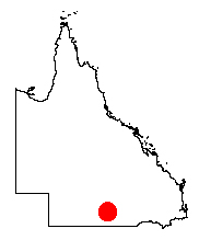
This image was captured on the 15th of November 2021, by the Operational Land Imager, on board the Landsat-8 satellite. The image is displayed in natural-colour, using bands four (red), three (green) and two (blue). The spatial resolution is 30 m. The contrast of the image has been adjusted, to allow the claypan features to stand out. The image was supplied by the United States Geological Survey and was processed by the Queensland Government's Remote Sensing Centre. The approximate location of the image is marked by the red dot in the map of Queensland (right).